Sunday, 27 October 2013

|
Updated:
Sunday, 27 October 2013 |
|
Baja California, Mexico |
|
Many of these pages contain kilometer-by-kilometer photos of the road & surroundings. Check the date and travel direction to see what the pavement looks(ed) like --- and also see old abandoned segments next to new segments. I defer to David K's extensive Baja history websites for better historical maps, photos and narrative. The Missions of Baja California
|
|
NOTE:
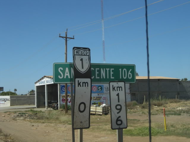
When I reference Km markers, they are reset to ZERO at various locations along the peninsula which can make it confusing. The zero-reference start points include: US-MX border, Ensenada, El Rosario, the border between Baja Sur & Baja Norté and Los Cabos.
Learn more & get the list HERE The usual suspects:
|
||||||||||||
| Google Earth Placemarks |
Fun Facts |
Maps | ||||||||||||
|
|
 Ever wonder why
Loreto, San Felipé, Los Cabos and other select
Mexican destinations come into being and grow like crazy? It's not luck or
coincidence. It's all very well-planned. Thanks to Fonatur,
the "institution responsible for the planning and development of sustainable tourism projects."
And with respect to the Baja Peninsula specifically, there is
the vision of the Escalera
Nautica, the Nautical Ladder --- a
mega project. As of August 2009, this project was HALTED by the
Mexican federal government. Ever wonder why
Loreto, San Felipé, Los Cabos and other select
Mexican destinations come into being and grow like crazy? It's not luck or
coincidence. It's all very well-planned. Thanks to Fonatur,
the "institution responsible for the planning and development of sustainable tourism projects."
And with respect to the Baja Peninsula specifically, there is
the vision of the Escalera
Nautica, the Nautical Ladder --- a
mega project. As of August 2009, this project was HALTED by the
Mexican federal government.
|
 Yippie! The new Baja
Almanac is out! (Fall 2009) Yippie! The new Baja
Almanac is out! (Fall 2009)
After being out of print for 4 years and losing both my copies, I ordered 4 to make sure I have a backup and gave two away as gifts. Also plentiful throughout the Peninsula. San Juanico/Scorpion Bay southern road corrections & update (July 2010)
|
||||||||||||
|
I maintain a pocket-size "red
book" in which I keep a diary/log, should anyone care or need to find
something if I die or wind up locked away in a foreign prison. Also a very
detailed Excel spreadsheet "timecard" just in case.
|
I have been favorably impressed with the infrastructure efforts during my 15-year absence:
|
 CLICKABLE Baja Norté map.
|
||||||||||||


